
ILV-Fernerkundung GmbH
Número do stand: 01
ilv-fernerkundung.de/pt-pt
Sobre nós
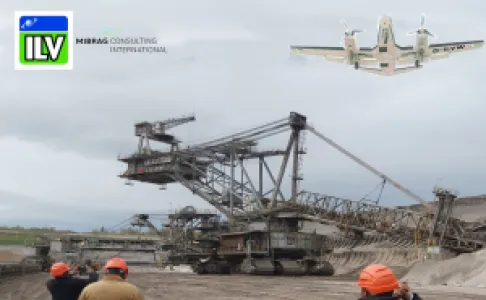
Com a MCI e outras empresas, a ILV oferece numerosos serviços, por exemplo voos de imagem e aerogeofísicos, planeamento mineiro, questões geológicas, perfuração de exploração, abertura de poços e drenagem.
ILV-Fernerkundung GmbH (ILV) together with MIBRAG Consulting International GmbH (MCI) are active in the mining industry and offer the following data and services:
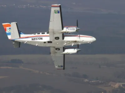
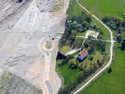
- Performance of image, scanner, thermal and aerogeophysic flights
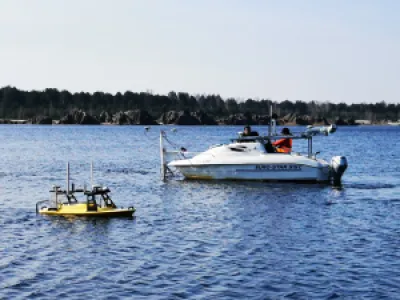
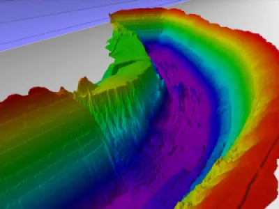
- Marine and offshore surveys
- Geographic Information Systems (GIS), photogrammetric 3D data acquisition
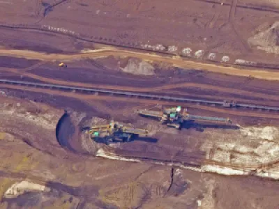
- Mine planning – feasibility studies, geological surveys and modelling
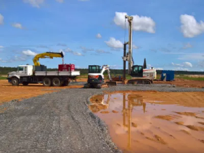
- Exploration and well drilling, irrigation and drainage
- Recultivation of mining areas for agriculture and forestry
- Education and training
The main clients are from both the private and public sectors. Important projects have been and are being carried out in Angola, Algeria, Ghana, Kuwait, Libya, Nigeria, Sierra Leone and the United Arab Emirates and as well as in many European countries.
Endereço
Wallstr. 15
10179 Berlin
Germany
Correio electrónico: info@ilv-online.de
Telefone: +49 30 2404850
Internet: ilv-fernerkundung.de/pt-pt
Leipener Str. 7
04539 Groitzsch
Germany
Correio electrónico: info@ilv-online.de
Telefone: +49 342 969560
Internet: ilv-fernerkundung.de/en
Condomínio Riviera, Rua Praia do Mussulo
Casa n.º 16
16 Luanda, Município do Talatona
Angola
Telefone: +49 30 2404850
Pessoa de contacto:
Dr. Monika Pilarski
Correio electrónico: monika.pilarski@ilv-online.de
Christian Hochheimer
Correio electrónico: christian.hochheimer@ilv-online.de
Martin Wagner
Correio electrónico: info@ilv-online.de
Produtos e Serviços
Research and development of new, innovative remote sensing technologies
Aerial photo analysis, topographic aerial maps und digital terrain models
Digital orthophotos, 3d-city models, development of GIS-applications
Thematic analysis of airborne- and satellite-based remote sensing data
Hydrological survey for mining, including for the oil and gas industry – offshore
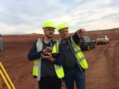
Terrestric surveying and mapping / cartography services
Geological exploration with MIBRAG CI https://www.mibrag-consulting.de/
Geological and hydrogelogical models with MIBRAG CI
Mine Planning and Economic Modelling with MIBRAG CI
Aerogeophysics and evaluation
Exploratory and well drilling, e.g. in cooperation MIBRAG CI
Training and further education in the field of remote sensing and GIS-technologies